Home
The WIKIAlps wiki reorganises the outcomes of selected EU projects on spatial development issues. Being a working tool for policy makers, civil servants, researchers, entrepreneurs and the interested public such as NGOs and associations, it provides rapidly operative information ready-to-use for policy design.
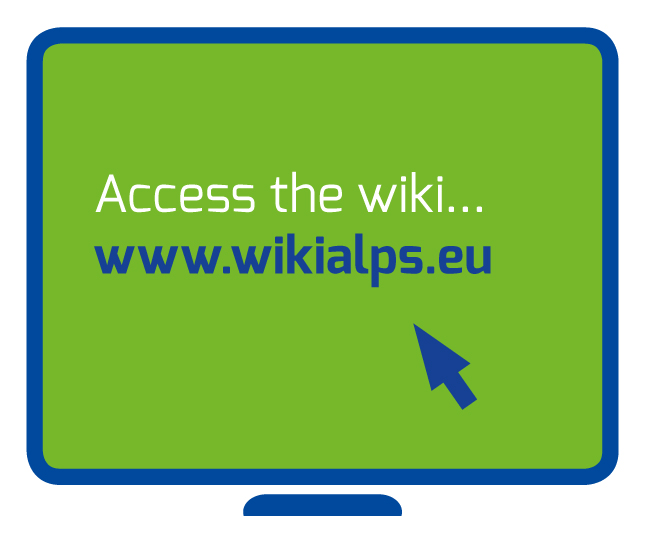 | ACCESS the wiki, USE the information contained in it and PARTICIPATE in the WIKIAlps experience! |
WIKIAlps – what is it about?
The overall aim of the
WIKIAlps project is to facilitate balanced
and shared territorial development in the Alpine Space by overcoming national borders. Sound decision making in spatial development requires appropriate, manageable and current information and WIKIAlps delivers the necessary tools. These include a WIKIAlps wiki, guidelines and recommendations, all tailored to the needs of decision makers, civil servants, researchers and entrepreneurs as well as an interested public, providing them with operative information ready to use for spatial policy design. The project WIKIAlps is co-financed by the European Regional Development Fund in the frame of the European Territorial Cooperation Programme Alpine Space as well as by national funding bodies.